Remembering Our Energy Footprints: A Spatial Memory for Just Transitions
Indonesia's surge in nickel mining – a mineral critical for electric vehicle batteries – reveals a troubling paradox at the heart of our clean energy transition. While global demand for electric vehicles drives an unprecedented need for nickel to support our low-carbon future, the local impacts tell a starkly different story.
A recent comprehensive analysis of nickel-mining villages on Sulawesi Island paints a concerning picture: deforestation rates have doubled, and community well-being has declined significantly. Education outcomes, living standards, and environmental quality all deteriorated, even as some infrastructure and health metrics showed brief improvements. These mixed results highlight a critical gap – the urgent need for greater accountability when it comes to local outcomes in our clean-energy transition.
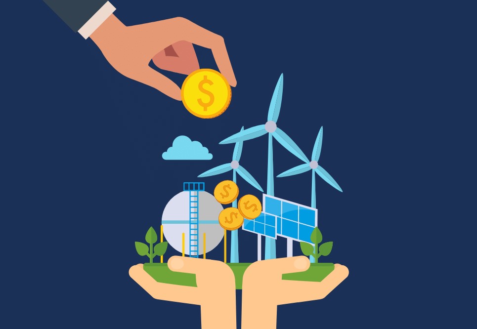
This creates a troubling dynamic: while battery manufacturers and national economies reap the benefits, local forests and vulnerable communities bear the burden of environmental and social costs. This pattern reflects the broader "winners and losers" challenge of decarbonization – cleaner energy creates jobs and economic growth in some places, but can deepen inequities in others, particularly in resource-rich regions of the Global South.
Current Geospatial Tools: Promise and Limitations
Advanced data tools hold significant promise for navigating these complex trade-offs, yet current approaches have substantial limitations. Satellite remote sensing and Geographic Information Systems (GIS) are already transforming energy infrastructure planning – from mapping optimal sites for renewable energy to tracking rural electrification progress and verifying emissions targets.
These technologies have begun revealing patterns of energy injustice. Recent studies demonstrate how satellite imagery, particularly day and night lighting data, can identify communities that lack electricity access and track how this changes over time. By combining nighttime light data with settlement maps, researchers can pinpoint where electrification efforts are falling short.
Several innovative platforms have emerged to harness this potential:
Energy Access Explorer (WRI): A free, open-source GIS platform synthesizing 50+ datasets on supply, demand, demographics and infrastructure. It uses multi-criteria analysis and overlays to highlight underserved areas where solar, grid extension or clean cooking could make an impact.
NREL's Geospatial Tools: The U.S. National Renewable Energy Lab hosts mapping tools for resources (solar, wind, etc.), land use, and infrastructure. Their geospatial science "uses GIS to produce maps, analyses, models…that inform energy planning" for renewables deployment.
Private Analytics (e.g. Kayrros): Commercial firms leverage satellite imagery and AI to monitor energy assets and greenhouse gas flows in near-real time – for example, tracking oil shipments or methane leaks.
While these tools provide invaluable insights into resource potential and investment gaps, they share a critical blind spot: the absence of institutional memory regarding post-implementation outcomes. Most platforms focus on mapping current resources and modeling future possibilities, but lack detailed information about actual social and environmental outcomes once projects become operational.
This limitation prevents access to crucial information about real-world impacts. For instance, clicking on an oil well location on a map typically cannot reveal how local fishing yields changed or whether school attendance rates improved or declined in nearby communities. Current tools excel at modeling theoretical possibilities, but fall short at documenting actual outcomes in specific places.
The Indonesian Case Study: Missing Historical Context
This information gap results in missed opportunities to learn from past experiences. Indonesia's nickel mining boom provides a compelling example of why historical data matters in project assessment. Traditional evaluation approaches might note that nickel is essential for green technology and that Sulawesi contains extensive forests, perhaps incorporating preliminary conservation maps into the analysis.
However, this approach overlooks the complete narrative. In Sulawesi, rapid nickel mining expansion triggered a cascade of environmental changes: massive road construction penetrated previously remote forests, illegal logging increased dramatically, and water pollution became widespread. Research demonstrates that in villages already struggling with poverty, environmental conditions continued deteriorating throughout the mining process – a pattern of long-term harm only visible through multi-year data analysis.
Contemporary planning systems fail to automatically flag these risks. While they might display new mining concessions on Sulawesi alongside mineral deposits and topographic information, they do not provide alerts linking to previous research findings or historical outcomes in similar contexts.
A Spatial Memory Framework for Energy Justice
Creating a more equitable energy transition requires developing a "spatial memory" platform – an AI-powered geospatial system that integrates historical and current data for every location. This concept involves creating comprehensive "digital memory" for places: combining satellite imagery spanning multiple years, detailed infrastructure maps showing mines, roads, and pipelines, and village-level indicators covering health, education, and demographics.
Machine learning algorithms would analyze these combined datasets to identify patterns and potential risks. When communities near previous projects experienced declining water quality or school closures, the AI system would learn to recognize these warning signs. Before approving new energy projects, planners could query the platform to examine similar historical cases and understand likely outcomes. This would enable investors and policymakers to make decisions based on actual historical experiences, rather than solely on resource availability.
A comprehensive spatial memory system would provide several key capabilities:
Environmental monitoring over time: Tracking changes in forest cover, land use, and pollution levels at every project site using satellite time-series data, automatically flagging significant environmental degradation.
Infrastructure impact assessment: Linking infrastructure development (mining concessions, power lines, roads) with socioeconomic data from surveys and census records, showing whether essential services like schools and clinics were built, maintained, or lost over time.
Early warning systems: Using AI to identify concerning patterns – such as clusters of health problems following new industrial operations – by analyzing correlations between project locations and community well-being indicators.
By integrating diverse data sources, this approach could reveal previously hidden patterns of injustice in energy development. Energy planners would gain insights not only into where demand and resources align, but also into where past investments created uneven benefits and burdens. For instance, the system might learn that coal plants built in flood-prone areas repeatedly displaced fishing communities, while solar projects in similar regions successfully avoided social disruption.
Innovation Through Site-Specific Learning
This approach distinguishes itself through its focus on learning from specific places and their unique histories. Unlike existing planning tools, this system would explicitly use past outcomes to inform future decisions, treating each location as having its own "memory" – a detailed record of actual outcomes over time.
This concept aligns with principles of energy justice, which emphasize understanding who benefits and who bears costs from energy development. By making historical impact data transparent and geographically specific, a spatial memory platform would empower local communities to hold investors accountable for their commitments.
The system would also provide significant value to investors and developers. Companies could quantify the likelihood of community opposition or environmental penalties in proposed projects by analyzing outcomes from similar historical cases. This data-driven approach to risk assessment could lead to better project design and more successful community engagement from the outset.
Implementation Requirements and Pathways
Realizing this vision requires unprecedented collaboration and data sharing among multiple stakeholders. Governments and non-governmental organizations should systematically archive project outcomes – including environmental assessments and social impact studies – in accessible, standardized databases.
The technological foundation already exists: satellite imagery has become more affordable and frequent than ever before, and cloud computing platforms can handle the massive data processing requirements. Open-source AI models, initially trained on well-documented regions like Sulawesi, could be adapted and refined for use in different geographic contexts worldwide.
However, technology alone remains insufficient. Local stakeholders must play central roles in interpreting and validating data. For example, satellite images showing bare ground could indicate very different things – agricultural monoculture, mining activity, or natural seasonal changes – depending on local context and community knowledge.
Toward Accountable Energy Development
As developing nations across the Global South accelerate energy infrastructure development, the risk of repeating past mistakes – and deepening existing inequalities – grows significantly. However, current technological capabilities offer the potential to chart a different course.
A spatial memory platform represents more than a technological solution; it embodies a fundamental shift toward accountability in energy development. By combining remote sensing technology, geospatial analysis, and artificial intelligence, such systems can remember the true impacts of past investments and help ensure that future decisions avoid repeating historical mistakes.
The core question this approach poses is transformative: instead of only asking "Where should projects be built?" the framework also asks "What happened the last time similar projects were built in comparable contexts?" This represents a call to action for policymakers, investors, and researchers to develop planning tools that genuinely connect technical resource assessments with human realities on the ground.
The ultimate goal remains ambitious yet essential: embedding institutional memory into decision-making models to guide the energy transition toward achieving both climate objectives and social justice goals, ensuring that the promise of clean energy genuinely benefits all communities.
Sources
Recent literature highlights the role of satellite data in energy planning and documents Indonesia's nickel mining impacts on forests and communities1,2,3,10. Existing GIS platforms (e.g. WRI's Energy Access Explorer) combine supply–demand layers4,11, and NREL provides mapping tools for renewables8,9, but none integrate on-the-ground outcomes.
- gala.gre.ac.uk
Nickel Mining Reduced Forest Cover In Indonesia But Had Mixed Outcomes For Well-Being (2024) - The justice and equity implications of the clean energy transition | Nature Energy
Nature Energy - Clean Energy Transition Justice - Frontiers | Satellite Data Applications for Sustainable Energy Transitions
Frontiers in Sustainability - Satellite Data Applications - Energy Access Explorer
Energy Access Explorer - About - Geospatial Data Science | NREL
NREL Geospatial Tools